Disclosure: This post may contain affiliate links, meaning I get a commission if you decide to make a purchase through my links, at no cost to you.
💻 The Nomad’s Tech Stack
Many of you ask how I manage to keep this diary online while constantly moving and documenting the world. I host my blog entirely on Hostinger. It’s incredibly reliable, fast, and ensures my content stays live even when I’m uploading massive photo files from remote locations.
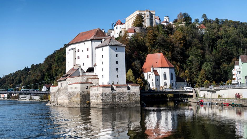
The hidden historical bunkers around Königstein start making sense the moment you look up at the ridge lines above the town, where the Taunus forest thickens into something almost impenetrable. Good morning from Königstein, Germany. I got in yesterday on a Deutsche Bahn regional train, the RB12 line, and stepped out into air that smelled like wet pine and cold stone. The town sits in a valley wrapped by the Taunus range, and that geography is the whole reason I’m here.
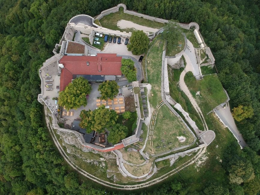
Right now I’m standing near the base of the Königstein fortress ruins, but the fortress isn’t the point today. It’s the woodland stretching north and east, the same dense mixed forest of beech and spruce that Cold War planners cared about. Cover.
Here’s the practical logic behind putting military installations under trees instead of open fields: aerial reconnaissance. Open terrain gives you nothing to work with. A concrete structure sitting in a meadow shows up on photographs as a clean geometric shadow. Bury the same structure under thirty meters of canopy and it disappears. The Taunus forest around Königstein offered exactly that, thick enough that even winter defoliation left partial cover, and steep enough that ground access could be controlled through a handful of forestry tracks.
The construction itself was blunt and efficient. Reinforced concrete walls in structures of this type typically ran between 1.5 and 2 meters thick, poured over steel rebar cages designed to absorb shockwave pressure. Ventilation was the real engineering problem. These shafts had to draw filtered air without creating a visible thermal signature, so intakes were often disguised as forestry equipment or set low against slopes where the tree line broke up the heat.
I found all this out slowly, because my German is functional at best. Yesterday at the small market near the Altstadt, I tried to ask a vendor about local history and instead pointed at something I assumed was mild. It was a chili-cured sausage, and it lit up my mouth for a solid ten minutes. The woman laughed, refunded nothing, and I earned it.
Troop logistics followed the same quiet principle as the concrete. Small rotating garrisons, supplied through unmarked vehicles, moving at night. Nothing dramatic. Just careful men working with the terrain the forest gave them.
💡 Traveler’s Pro Tip: Over the years of constant travel, I’ve learned the hard way. Now, I always rely on BikesBooking for renting scooters, motorcycles, and bicycles effortlessly. It eliminates so much unnecessary stress when you’re on the road.
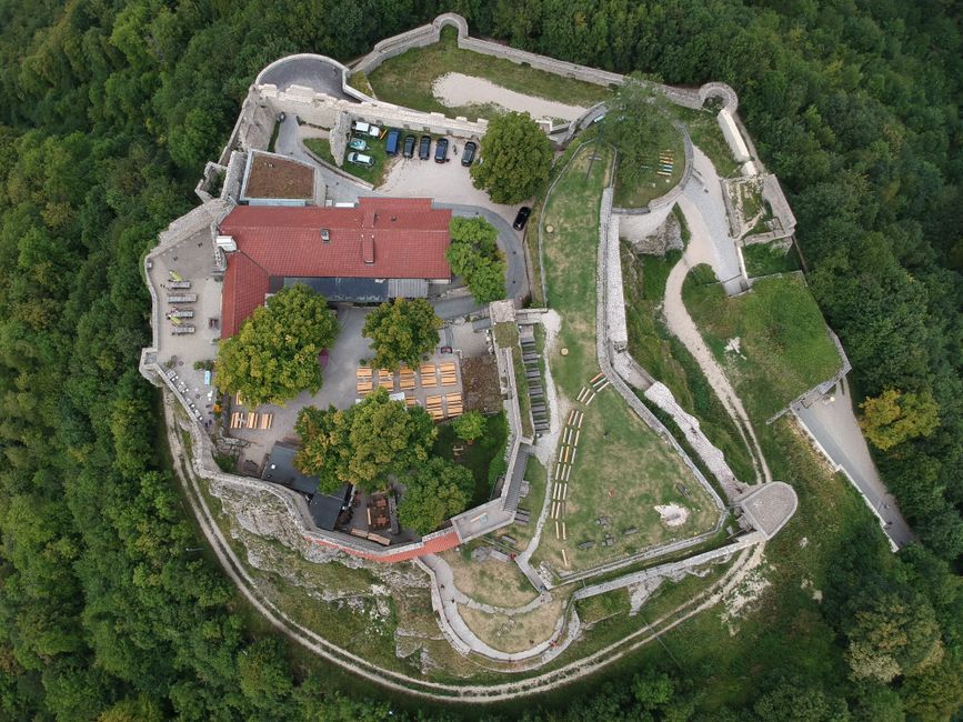
Want to dig deeper? For more historical context and detailed information about Königstein, you can read more on Wikipedia.
Locating the Hidden Historical Bunkers
The concrete emplacements scattered through the wooded slopes above town don’t announce themselves. I spent the better part of a morning following a moss-slicked path off the Falkenstein road before I found the first low entrance, a squat rectangular mouth set into a hillside, its steel door long gone. What survives are the shells: command posts and troop shelters built during the tense decades when this part of the Rhine-Main corridor sat inside a NATO logistics zone. The walls here run roughly 1.2 to 1.5 meters thick, poured in continuous shifts to avoid weak seams. You can still see the horizontal form-lines where the shuttering was raised. The air inside carries a flat mineral cold, damp stone and old rust, the kind that seeps into your knuckles within minutes.
Concrete
Cold War engineers didn’t overbuild for vanity. The thickness of these hidden historical bunkers was calculated against blast overpressure and shrapnel, not artillery-proof but hardened enough to keep a small command crew functional. The pour ratios favored dense aggregate, and the low roofs were angled to shed a direct strike sideways. I ran my hand along one wall where the surface had spalled, exposing coarse gravel. No decorative anything. Function stacked on function.
Ventilation
The most telling detail sits above your head. Each shelter has a filtered air intake, narrow vertical channels that pulled fresh air through hand-cranked or motorized filter units designed to strip particulates during a contamination event. In one chamber I found the mounting bolts still fixed to the wall where the filter housing bolted on. The system was simple by design: fewer moving parts meant fewer failures when a maintenance crew of two or three men had to keep a post running for days. Standing under that intake shaft, you feel a faint draft even now, decades after the mechanisms were stripped out. The engineers positioned intakes to draw from the uphill side, away from where exhaust and dust would settle. That single decision tells you these were meant to be lived in, not just sheltered in during a passing threat.
Cover
Commanders chose the wooded slopes deliberately, and the logic is dead practical. Dense canopy breaks up thermal and visual signatures from the air, and the irregular terrain complicates any ground approach. Open ground here would have meant sightlines cut both ways. Under cover, a supply column could move gear along narrow tracks with the canopy overhead masking movement from reconnaissance. The bunkers were sited near natural drainage lines so runoff wouldn’t pool at the entrances, and the earthworks piled over the roofs did double duty: extra mass against a strike and a broken silhouette that reads as another bump in the hillside. Troop logistics ran on this concealment. Small rotating crews meant less traffic, and the compact footprint of these hidden historical bunkers kept the supply burden low. You can still trace where a track once ran between two of the shelters, a shallow depression now filled with leaf litter, wide enough for a light truck and nothing more.
Value
Here’s the honest comparison. Everyone points you toward the polished heritage sites, but the quieter town of Kronberg im Taunus, a short ride away, offers the same wooded terrain with fewer visitors and cheaper parking. Why choose Königstein? Because the density of accessible fortified structures here is higher, and the trailheads sit closer to the town center. Insider Tip 1: Take bus line 261 from the town center toward Falkenstein; a single ride runs around €3.50, and it drops you within a fifteen-minute walk of the first cluster. Insider Tip 2: Go on a weekday morning; weekends bring dog-walkers and mountain bikers who churn the paths into mud after rain. Insider Tip 3: Bring a proper headlamp with spare batteries; the interiors of these hidden historical bunkers swallow phone-torch light within a few meters, and there’s no lighting whatsoever.
Base
I based myself at the Falkenstein Grand Kempinski, which runs from roughly €180 per night off-season. Yes, it’s a splurge against my usual rented rooms, and the half-board rate pushes it higher, but the front desk went well beyond scripted politeness: the concierge sketched out the exact forest paths on a printed map and flagged which entrances were flooded that week. That local knowledge saved me half a day. Compare that to a plain guesthouse breakfast and a shrug. My plan was a three-day self-guided walking route, morning explorations and afternoons cross-referencing the town’s records. Start at the Königstein Tourist Information for trail leaflets, then check the local history displays near the Kurpark for context on these hidden historical bunkers before you head uphill. Three days is enough to reach the main clusters without rushing, and the town’s compact layout means everything sits within a short walk once you’re back down.
Final Entry: Concrete, Cold Air, and the Logic of Trees
The last of these structures gave up its logic slowly, the way old military work always does.
I spent the morning crouched inside one of the hidden historical bunkers, running my flashlight along the poured walls, my DSLR strap cutting into my neck under the weight of the heavy body. The chambers hold their temperature stubbornly, cold and mineral against your palm even when the air outside softens toward midday. The engineers who built these sank the concrete deep and thick, not for aesthetics but for survival math: enough mass to absorb a strike, enough depth to keep the men inside functional for days.
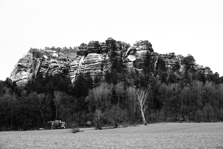
What struck me was the ventilation. Narrow shafts pull cool air down through the canopy above, and that canopy is the entire point. Commanders chose the wooded high ground because the tree cover broke up the silhouette from the air. Open ground would have exposed every access point; the dense growth swallowed them. Camouflage without paint. That decision, made decades ago, is exactly why I struggled to find some of these hidden historical bunkers at all today without a printed map and a lot of backtracking.
The practical cost lesson: the local guide contact I’d arranged wanted 40 euros for two hours, which felt steep until I understood he’d walked these slopes for years and knew which entrances were flooded. Cheaper than a wasted afternoon. My rented apartment near the Kurpark runs a fraction of the half-board rates the spa hotels quote, and I ate standing up, a warm pretzel from a bakery on Hauptstrasse, salt sharp on my tongue.
Tomorrow I move toward the Woogtal side, where quieter footpaths trace the valley. I want to see how the terrain there shaped a different set of construction choices.
🎧 Listen to my travel diary:
More from my travel diary:
Share This Diary Entry
Important Note: This diary is for entertainment and informational purposes. Always research local laws, travel advisories, and verify transport schedules before embarking on any journey. Affiliate links may be present.